todaymanas@gmail.com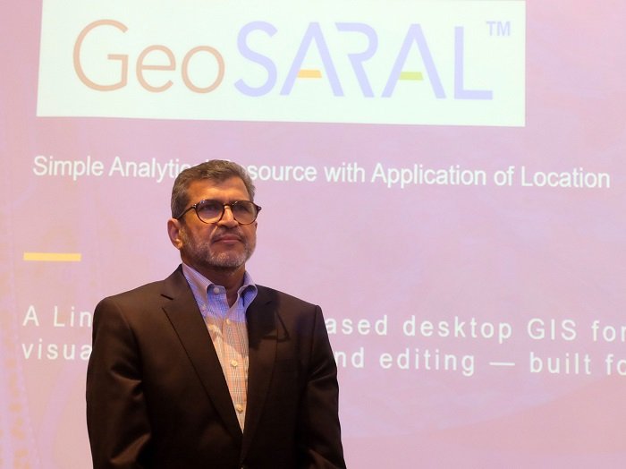
Esri India, the market leader in Geographic Information System (GIS) software, location intelligence, and mapping solutions in India, today announced the launch of GeoSARAL, a Linux-based desktop GIS software.
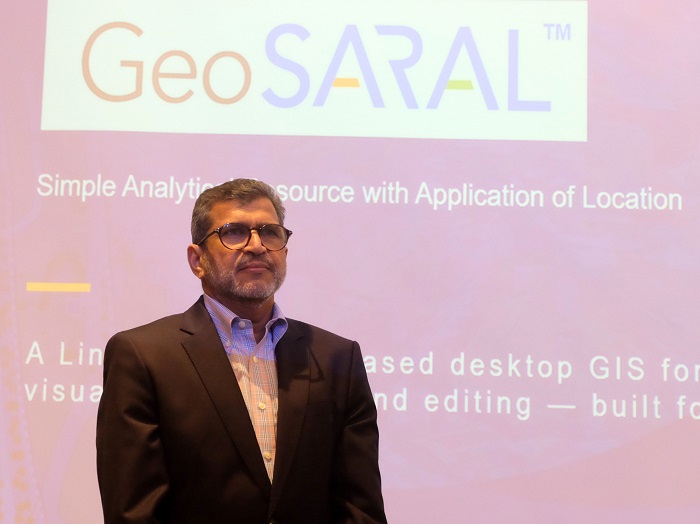 |
Agendra Kumar, MD, Esri India Launches GeoSARAL, an Indigenous GIS Software
With sustained investments in technology, talent, and innovation over the years, localization has been a key focus for Esri India. The intent is to develop solutions that address the requirements arising from the rapid adoption of geospatial technologies in India. GeoSARAL is a result of this continued focus and efforts by the Esri India team.
Professional GIS users in organizations use ArcGIS Pro for advanced analysis, 3D, network analysis, and complex cartography. At the same time, there are users who need a desktop GIS for simple tasks like mapping, visualization, querying and editing. GeoSARAL is the product for them. It was conceptualized in response to the growing demand from Esri India’s large ArcGIS user base across enterprise and government sectors for a lightweight, Linux-based desktop GIS. GeoSARAL is also supported on Windows, with Android support coming soon.
Agendra Kumar, Managing Director, Esri India, said, “Innovation with customer needs in mind has been at the heart of our technology journey. The launch of GeoSARAL is a significant milestone. Initial users of GeoSARAL are very appreciative to have a cost-effective Linux-based desktop GIS software for mapping, visualization, editing, and querying. It works effectively within ArcGIS environments for these tasks, addressing the simple GIS needs of some users, while others work with more advanced ArcGIS Pro capabilities. GeoSARAL is supported on both Linux and Windows, with support for Android on its way.”
GeoSARAL co-exists with users’ current ArcGIS infrastructure and can leverage the rich content from Indo ArcGIS Living Atlas. It lets users view, manage, and analyze GIS data and basemaps stored locally, even without an internet connection. It is designed to seamlessly integrate with the existing ArcGIS ecosystems and provides enterprise grade security.
As geospatial technology becomes increasingly important in governance, infrastructure, agriculture, defence, utilities, urban development, natural resource management, disaster management, and other critical sectors, local development will play an important role in addressing the country’s unique requirements while strengthening domestic technology capabilities. GeoSARAL is a step in this direction, contributing to India’s journey towards greater technological self-reliance.